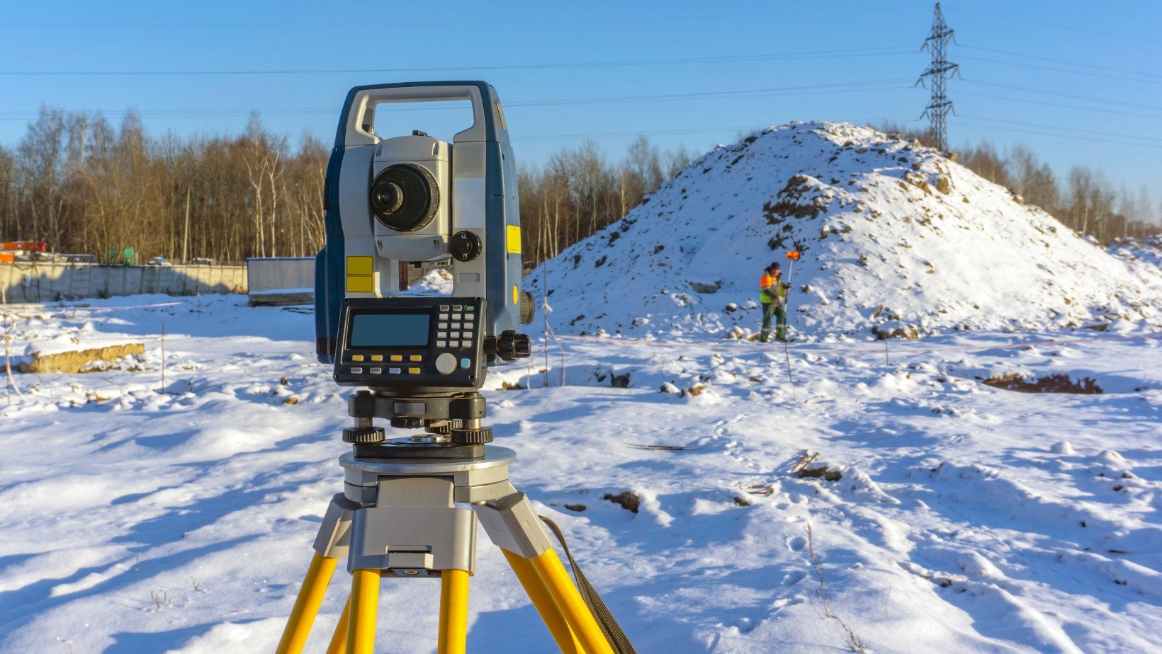
Topographic Surveys
Vancouver Land Surveyor Pros offers clients topographic site plans to meet their specific needs and a foundation with critical information for the intended construction. We are familiar with the plan needs of municipalities in the Metro Vancouver and Fraser Valley regions.
Not only do we guarantee that our authorized survey plan helps you get your municipal permit as easily as possible. We also accommodate extra design required by your consultants, working flawlessly with your designer, architect, civil engineer, and QEP.
Following the first plan, our topographic and
hydrographic survey package will proceed to provide solutions at your pace, keeping in mind the time-sensitive nature of future needs:
- Survey of excavation and new building layout
- Builders' benchmark setup
- Forms and submits a Location Certificate for inspection.
What Is The Purpose of Topographic Survey
When you get a topographic survey from our land surveyors in Vancouver, it is essentially a 3-D map of the land. It will detect location, size, height, and elevation changes across your land.
A topographical land survey is typically necessary for new buildings, remodeling, road or bridge constructions, and grading operations.
We collaborate with engineers, architects, and developers from various industries.
Our land surveying team thrives on challenges, from large-scale construction and engineering projects to land development and transportation infrastructure mapping.
At Vancouver Land Surveyor Pros, we will give preliminary drawings before a project is approved based on existing data. This information might include past survey plans, publicly available topographic data, or current utility information. Our staff can obtain this information on our clients' behalf, saving them time and money.
Clients will demand more thorough details after a project has progressed past the exploratory stage. This is where our expert team can bring their distinct set of experience and knowledge to bear to offer accurate and dependable data.
These surveys can be used for grading and other design purposes, volume calculations, identifying parcel boundaries or finding existing structures and other key elements on the subject property, among other things.
In addition to the services listed above, we may do subsurface scans to locate underground utilities, map bedrock or tree roots, and conduct archaeological surveys.
We can create an all-encompassing plan that identifies all potential factors that may impact the parcel or planned design using detailed data collected above and below the surface. The number of outputs can be tailored to the client's specific demands and the criteria of the authorizing authority.
Clear, Visible, & Precise
Of course, we take pleasure in designing a survey that contains no more or less information than our clients require.
Why Should You Choose Us?
We are your topographic survey specialist due to our years of expertise in residential and commercial topographic surveying.
Our company takes delight in each topographic survey we provide to our clients. How are we going to do it? By offering great service, industry-leading job quality, and affordable price.
Indeed, our team of topographic surveyors is the best in Vancouver. Contact us today to know the topographic survey costs and see how our experts can help you!
We're here to help!
Fill in the form or call to set up a meeting at 604-200-4103