Blog Layout

How do Topographic Surveys Differ in Comparison to Boundary Surveys?

Feb 03, 2023

How do Topographic Surveys Differ in Comparison to Boundary Surveys?

You can conduct a variety of land surveys for your property. Each has its purpose and benefits; the most sought-after ones comprise boundary surveys and topographic. Before you make contact with a topographical surveyor, take a close look and examine the following kinds.


Surveys are usually required when you are looking to sell, purchase, or build a new parcel of land.


Examining the Boundary Surveys


The name implies that the boundary survey aids in determining the boundaries that surround your parcel of land. They are crucial when buying or selling property (as they provide specific details regarding the start and end of the property). They ensure an honest sale and help you avoid intruding onto other properties.


In addition to marking the appropriate boundaries, you will be able to obtain more details, such as:


  • Encroachments of other properties that might interfere with your plot
  • Locations for easements (permission to enter or cross the property, in addition to those who are supplying the utility)
  • Restrictions (which comprise zoning regulations)


The area of the land is measured through survey drawings and measurements. The main purpose behind surveying boundaries is to settle legal issues regarding landscaping projects or even new house extensions. They are beneficial for establishing a property's legal connection and also for securing property lines.


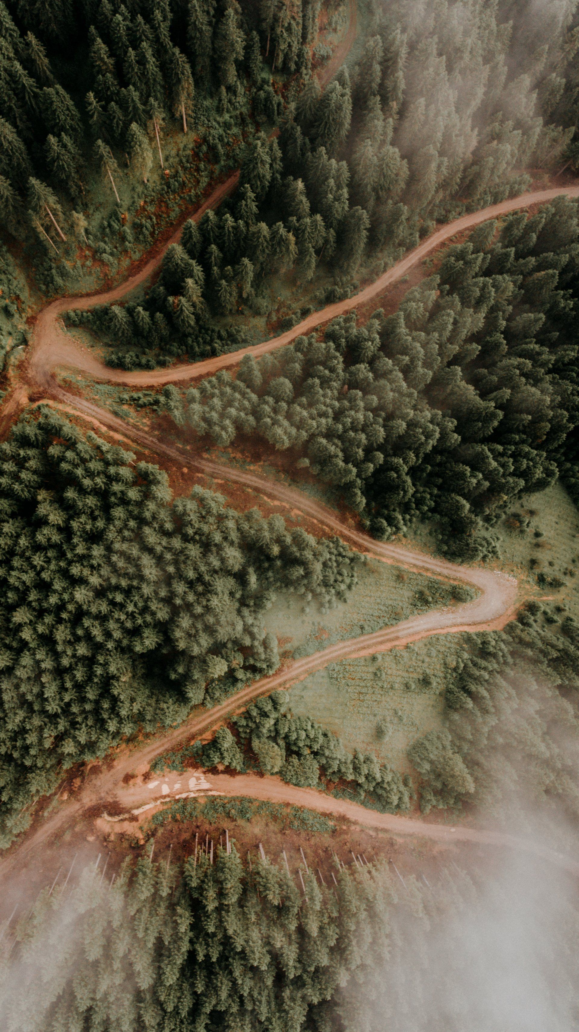
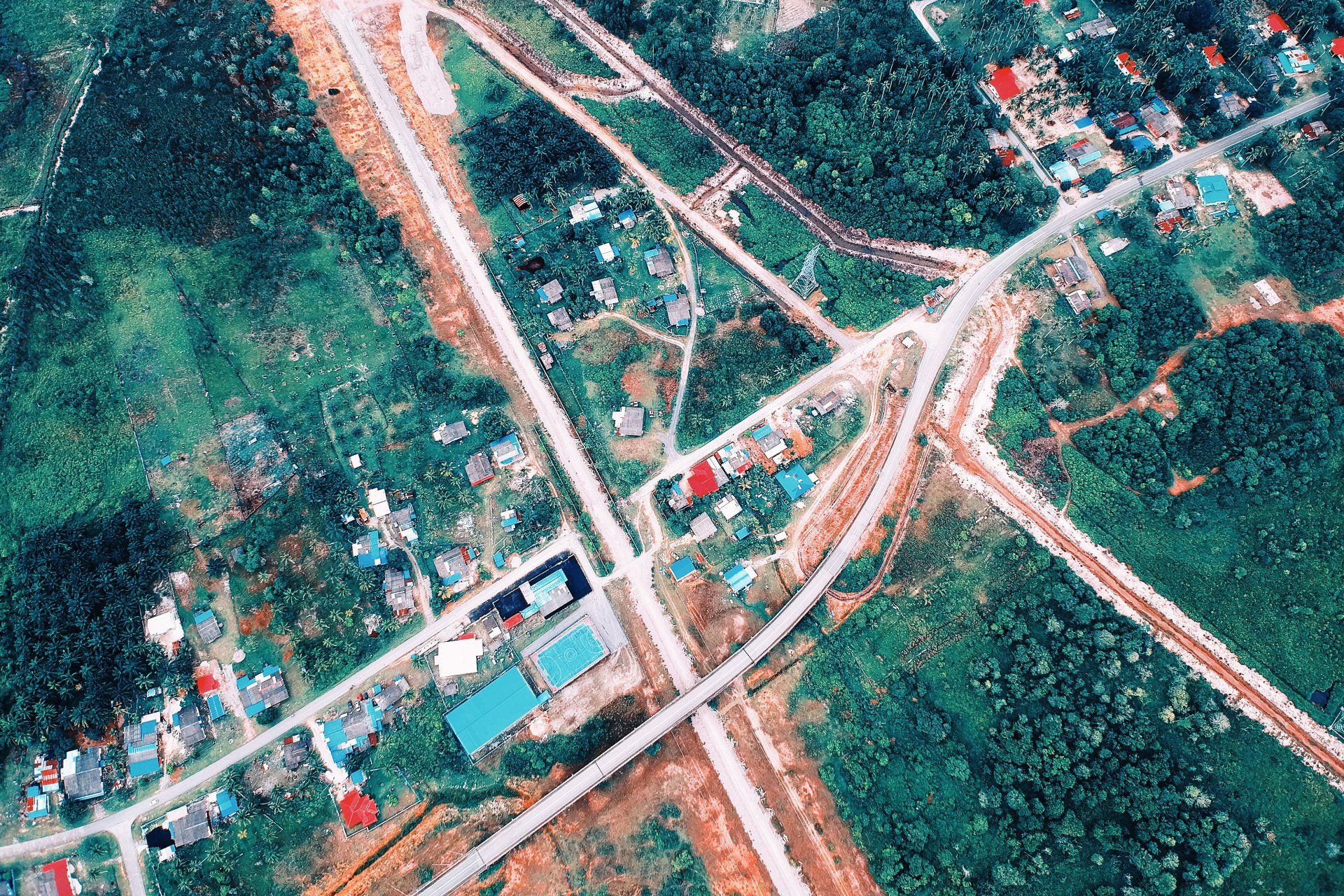
Relevance of Topographic Surveys


The one thing that boundary surveys do not provide is topographical information (the slopes, contours, and the elevation of land described within the deed). They also provide information regarding the various structures on this land (natural or artificial).


A topographical surveyor utilizes EDM equipment and GPS Survey Units to measure elevations. The main drawback to boundary surveys is that you don't get topographic information on the property.


A majority of these surveys have things like:


  • The streams and rivers
  • Trees
  • Streets and walkways
  • Valleys, slopes, hills, and many other variations in elevation
  • Fences and walls
  • Manholes, buildings, as well as utility poles.


Contractors, construction engineers, and architects utilize these kinds of maps when planning and designing improvements to the land. If there are drainage issues, topographic surveys are beneficial in monitoring any dips or rises that could be causing the issue.

Ready to work with Vancouver Land Surveyor Pros?

Let's connect! We’re here to help.

Send us a message and we’ll be in touch. 

Or give us a call today at 604-200-4103

Land Surveyor Vancouver Quote

More Marketing Tips, Tricks & Tools

aerial view of a piece of land with trees
27 Jan, 2023
Are you in the process of surveying a parcel of land? Are you finding the price to be too high? Don't worry; there are simple methods that you can use to cut down the amount you must pay your land surveyors.
a person making a construction plan
31 Dec, 2022
Any correct builder will not start constructing until they've drawn all their making plans on a map. They cannot exercise session all of the logistics of the assignment until the capabilities of the plan are mapped out. You may suppose that getting the blueprint is all it takes to ace the assignment, but that's not valid.
cattles on a wide piece of land
24 Dec, 2022
While setting foot in surveying commercial enterprises, we might often discuss the significance of topographic maps. We wondered what alternative a bit of paper may want to bring to the development businesses and different industries. This post will reveal all of the fundamentals we discovered from approximately topographic surveys.
a woman thinking
02 Dec, 2022
There are times when the need for surveying land is a lot more pressing. In such instances, it is essential to rely on experts who are experienced. We can assist you in making sure that the property lines are clear and conducting the essential property calculations.
wide  land
25 Nov, 2022
Prior to purchasing a home, it is essential to determine the boundary. If not, disputes will arise in the future without defined boundaries, regardless of whether it is private property, mine, or commercial. If there are conflicting opinions about boundary lines, the owners of the land should carry out the boundary survey.
land topography
05 Nov, 2022
Before beginning any construction or development project, a topographic survey must be conducted. A topographic survey creates a 2-dimensional representation of your land in three dimensions.
a person with a tripod
29 Oct, 2022
Without a competent land surveyor, real estate developers would not make much progress. Before you hire somebody, keep in mind that land surveying is a complex task, although everyone is willing to perform it
measuring on a board
10 Oct, 2022
Surveys of land are a lot more complicated than many people believe. Therefore, every surveyor needs to study and verify the history of surveys. They should also search the terrain and examine the topography as the challenges into account.
two persons talking
02 Oct, 2022
What exactly does the job of a quantity surveyor in the construction industry is a common query we receive frequently. This blog will tell you precisely what they do.
a person handing a business card
07 Sep, 2022
in land laws, title, and planning. They are government-authorized surveyors who can prepare subdivision plans and define boundaries legally.
More Posts
Share by: