In-Depth Discussion of the Specifics of Topographical Surveys
In-Depth Discussion of the Specifics of Topographical Surveys
Before beginning any construction or development project, a topographic survey must be conducted. A topographic survey creates a 2-dimensional representation of your land in three dimensions. The remainder of the project's development is determined by the survey's findings. It can prevent any unpleasant surprises during construction and save you potentially thousands of dollars.
Before we begin this post, it becomes useful to grasp the precise duties of topographical surveyors.
What is the role of a topographical surveyor?
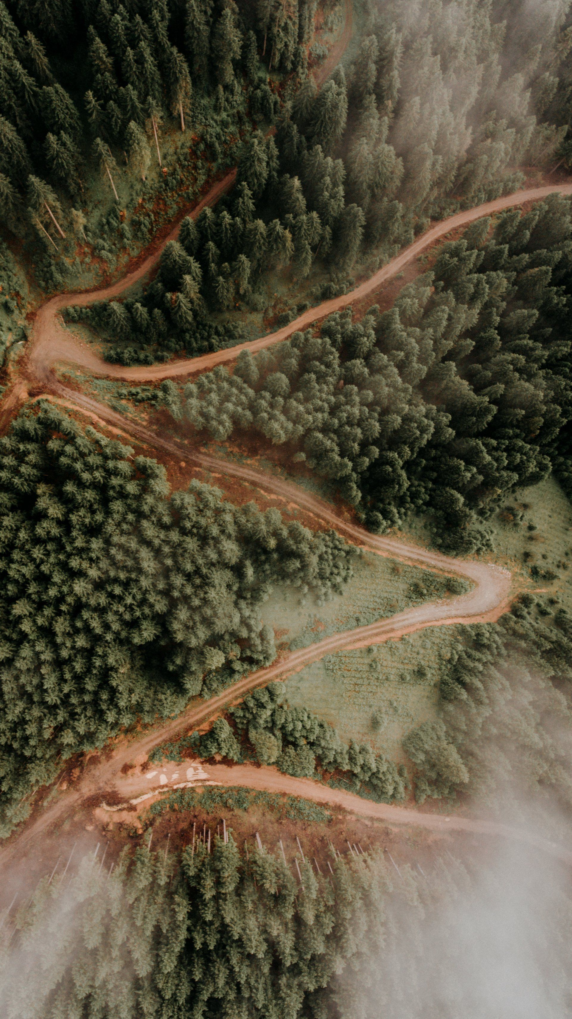
A topographic survey is a process of locating and charting each surface feature of a particular area of land. Typically, a survey will contain the following components:
- The land's peaks, valleys, depressions, and protrusions are depicted by contours. Under contours, any substantial change in vertical height is documented.
- Utilities: Manmade utilities include power lines, pipelines, and electrical boxes. Also included is information on locating subsurface utilities.
- Streams, wooded regions, big (natural) rock formations, and water bodies fall under the category of vegetation and physical qualities.
Why Is a Topographic Survey Necessary?
As you may have imagined, a topographical surveyor collects crucial information about the property before beginning work on it. This is done prior to any building in the area. It draws back the veil on concerns that may not be immediately apparent to the uninformed eye. This can also save a great deal of money.
Information Regarding Previous Alterations To The Land, If Any
A survey also offers information on whether the land has been altered in the past. It brings to the forefront attributes that were previously concealed. The information you collect can also reveal changes that have occurred over time.
Ensure Construction Projects' Durability
The last and maybe most significant reason for conducting detailed topographical surveys is to ensure the durability of constructions. It provides engineers and architects with the data necessary to calculate and compensate for topographical abnormalities that might otherwise cause the structure to crumble within a few years.
Ready to work with Vancouver Land Surveyor Pros?
Let's connect! We’re here to help.
Send us a message and we’ll be in touch.
Or give us a call today at 604-200-4103
Land Surveyor Vancouver Quote
More Marketing Tips, Tricks & Tools


